Workshop recap: map-making for fantasy RPG settings
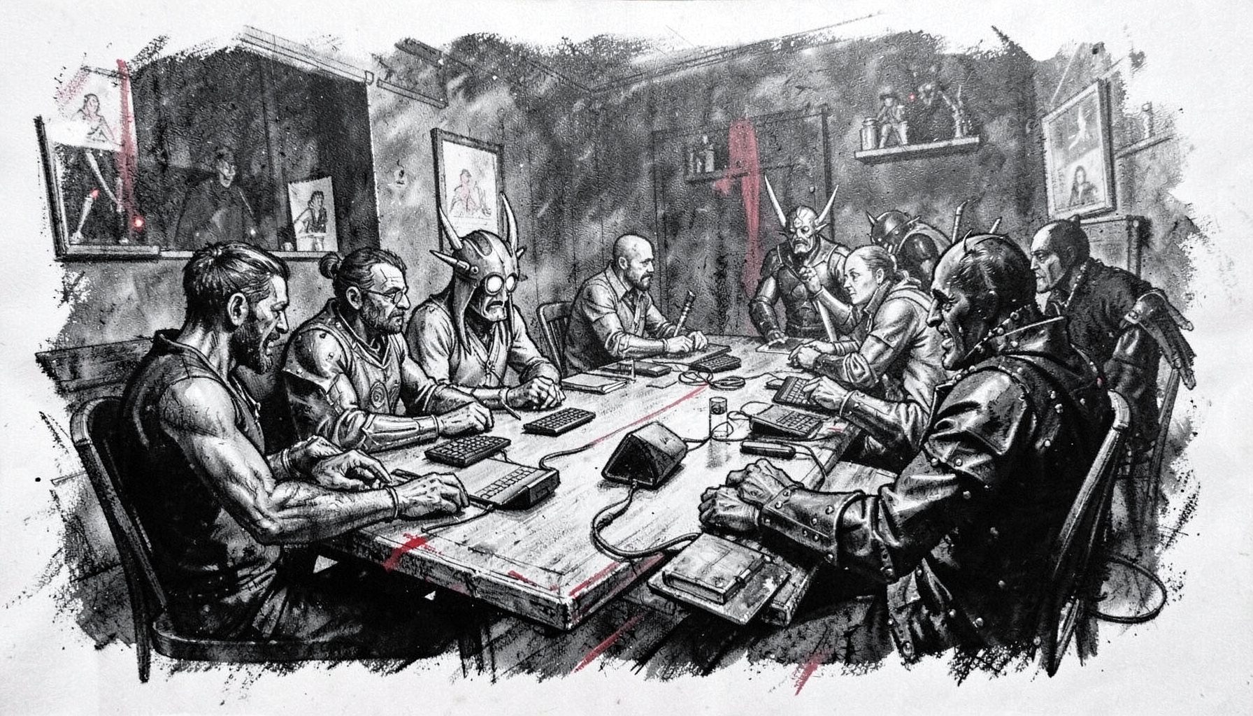
Inside the Showboat Hotel on the Atlantic City boardwalk, a backroom table got buried under grid paper, fine-liners, and slices of dollar pizza. The workshop ran for two hours during High Level Games Convention 2018, and by the end the room smelled of dry-erase markers and ink. Twenty-something game masters and a few curious newcomers sat shoulder-to-shoulder, sketching coastlines that ran into mountain ranges that ran into sprawling city blocks.
The session was led by two designers with deep roots in indie publishing, and they treated cartography less as illustration and more as worldbuilding under pressure. Attendees took home a starter template and a list of supplies, along with a head full of questions about how to make geography feel alive at the table. This is what that workshop actually covered, written for tabletop designers picking up a pencil — or a stylus — for the first time.
A room full of cartographers in Atlantic City
The presenters opened by asking who had ever drawn a continent in their schoolbooks. Half the room raised a hand, a few admitted to doodling islands in margins during boring meetings, and one person confessed to a multi-year obsession with subway maps of fictional cities. That kind of quiet obsession was the mood the workshop wanted to tap into.
Most attendees had flown in from the eastern seaboard, though the conversations in the breaks drifted to places as far as a small game collective in Adelaide and a Melbourne group running monthly hexcrawl nights. Someone compared notes on a popular Australian tabletop chain that stocks beginner-friendly cartography kits, and several people swapped contact details to keep the conversation going online. PAX Australia also came up, with attendees nodding about how the Melbourne show had grown into a real hub for indie mapmakers.
The facilitators framed the workshop as a working session, not a lecture. Tables were organised by skill level, and everyone got a printed handout with a blank continent outline, a hex overlay, and a list of geological prompts. The energy was collaborative from the first five minutes.
Core techniques from the cartography session
The first half of the workshop focused on fundamentals that often get skipped. The designers pushed hard on the idea that a fantasy map is really three things at once: a graphic, a reference tool for the GM, and a story prompt. Treating it as only one of those tends to produce artwork that looks gorgeous but does not survive contact with actual play.
Coastlines came first, with a live demonstration on the main projector. The presenter drew a single confident stroke down a page, then paused to add a thousand small wobbles. The point, she explained, was that real coastlines read as believable because they are never perfectly smooth. New mapmakers tend to overthink the overall shape and end up with something that looks like a kidney bean.
Mountains and rivers came next, along with a clear rule of thumb: water runs downhill, and rivers split rather than merge across their length unless they are part of the same drainage basin. Several attendees pulled out phones to take photos of the projected example. Someone asked how climate zones affect where settlements cluster, and the answer pulled in a quick reference to the Köppen system, kept light enough that nobody felt they were back at university.
Tools, brushes, and pixels
The workshop deliberately covered both paper and software workflows. About a third of the room preferred the feel of nib pens and hex paper, a few swore by Inkscape and GIMP, and the rest were deep into dedicated tools like Inkarnate and Wonderdraft. The instructors did not endorse a single pipeline but did warn against getting lost in software tutorials for months without ever finishing a continent.
For traditional media, the recommendation was simple: start with a 2B mechanical pencil, a fine-liner set, and a single warm grey marker for shading. Digital users got a different starter list — a drawing tablet, a neutral texture brush pack, and a layer naming system that survives more than three sessions. Pricing was discussed in rough terms, with notes for attendees in Australia about the local price difference for imported art supplies after shipping and GST. Several people in the back raised eyebrows about how much a single Copic marker costs at a Sydney retailer compared to a US discount store.
The session also touched on Australian classification rules for materials distributed with games. Maps and supporting artwork sold commercially need to be considered against the Classification Board's guidelines, especially if a product is bundled online. It is the kind of detail that catches indie publishers flat-footed if they have only sold at US conventions before.
Stitching geography into lore
The back half of the workshop shifted from technique to storytelling. The key idea was that every map should tell the GM something the players do not yet know. A poisoned coastline suggests a backstory. A road that ends at a swamp suggests something is hidden. A capital city placed at the mouth of a river is making a political statement the world will eventually reveal.
The presenters walked through three short examples pulled from home campaigns: a coastal kingdom built around a single harbour, a desert nation carved by an underground aqueduct, and a frontier town wedged between two warring mercantile guilds. Each example linked the cartography to a single dramatic question the GM could lean on during session zero. Several attendees were scribbling down prompts, especially the one about how a desert aqueduct could become the spine of an entire campaign arc.
For folks interested in taking that loop from paper to immersive play, the convention's live-action moments at the convention showed how geography becomes staging when someone gets handed a map and a costume at the same time.
Bringing maps to the gaming table
Once a map exists, the harder question is what to do with it. The workshop covered three approaches: full disclosure at session zero, layered reveals during play, and player-built maps drawn collaboratively during the campaign. Each has tradeoffs, and each shapes what kind of story emerges at the table.
Full disclosure turns the map into a shared worldbuilding document. Players can plan routes, weigh risks, and feel ownership over decisions. Layered reveals lean on fog-of-war techniques and partial handouts, perfect for groups who like the slow drip of discovery. Player-built maps work best for hexcrawls and west marches style campaigns, where the geography itself becomes content the group authors together.
Throughout this part of the discussion the workshop facilitators kept returning to a single piece of advice: talk to your players about how they want to receive the world. Some groups in the room had experience with conventions and shared notes on first-time attendee advice that worked for people juggling introverts and extroverts at the same table. The most useful detail was simple: ask players during session zero whether they want the map handed to them or revealed slowly, and design accordingly.
Hands-on recommendations for new cartographers
The workshop wrapped up with a short, practical list of suggestions. These are roughly the points the facilitators underlined at the end, distilled from two hours of live demonstration and Q&A.
- Start with geography before cities. A reliable coastline and one consistent mountain range create more believable worlds than three detailed capitals ever will.
- Sketch in pencil first, ink second. Committing too early to a line makes later changes painful and slows the design process.
- Name places as you go. Names are worldbuilding, not decoration, and they will reveal gaps in your geography that pure drawing hides.
- Layer texture rather than relying on colour. Shading, hatching, and subtle gradients read as more professional than high-saturation fills, and they print well in black and white.
- Draft a single dramatic question per region. A good map plants a story hook the GM can lean on whenever the table stalls.
- Keep a reference folder. Real-world maps, satellite images, geological surveys, and historical atlases feed the imagination without copying anything directly.
- Print or export a clean version for players. Even rough maps improve sessions when everyone is looking at the same page.
The room cleared out slowly, with several attendees asking whether the workshop materials would be uploaded somewhere. The presenters promised follow-up notes within a week and pointed people toward a community Discord that had grown out of the convention's tabletop track. Back in the lobby, a few strangers compared the first lines they had drawn that afternoon, already talking about where to take their continents next.
For anyone who missed the session and wants a concrete first move, the workshop handout itself is still the answer: open the page, draw one coastline that wobbles like it was never designed, and let the rest of the world grow from that single line.